
Download and print Bihar blank map with districts for kids and it can also be used for educational purposes.
Blank map of Bihar | Outline Map of Bihar PDF Download
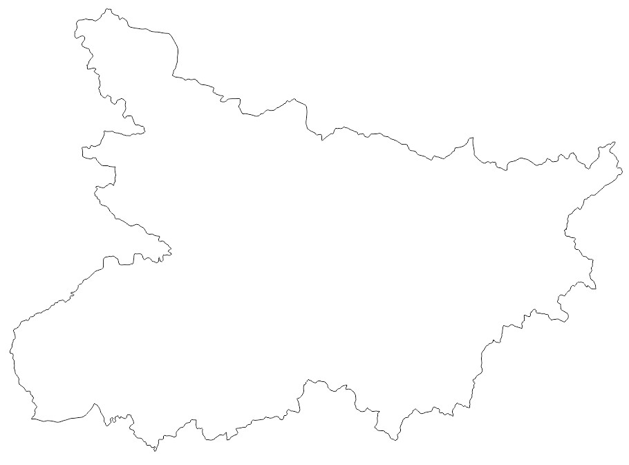
Bihar Blank Map PDF Download | Bihar Outline Map PDF Download
| Bihar Blank Map | Download |
| Bihar Outline Map | Download |
Some Facts About Bihar |
|
|---|---|
| State | Bihar |
| Capital | Patna |
| Spoken Languages | Hindi, Magahi , Maithili, Bhojpuri |
| Area | 94,163 sq. km |
| Population (2021) | 125.9 million |
| Literacy Rate | 63.82% |
| Sex Ratio | 918 females per 1000 males |
| Governor | Phagu Chauhan |
| Chief Minister | Nitish Kumar |
| Legislature | Unicameral (Bihar Legislative Assembly) |
| Lok Sabha Seats | 40 |
| Rajya Sabha Seats | 16 |
| Bordering States | Uttar Pradesh, Jharkhand, West Bengal |
| Major Rivers | Ganga, Sone |
| Famous Tourist Destinations | Bodh Gaya, Rajgir, Nalanda, Vaishali, Patna Sahib, Mahavir Mandir, Sonepur Mela |
Bihar District Map
There are 38 districts in the state. Patna serves as Bihar’s state capital. Hindi and Urdu are the state’s official languages, however Bhojpuri, Magahi, and Maithili are also frequently used. Nepal, West Bengal, Uttar Pradesh, and Jharkhand are the border of Bihar.
Bihar on India Map
Explore where Bihar is located on the India map. Also, get the location of Bihar in India map in Hindi.