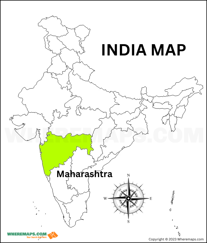
Explore where Maharashtra is located on the India map and find the precise location of it
About Maharastra
Maharashtra is a state which is located in the western part of India. It is bordered by the Arabian Sea to the west, Gujarat to the northwest, Madhya Pradesh to the northeast, Chhattisgarh to the east, Telangana to the southeast, Karnataka to the south, and Goa to the southwest. Maharashtra state comprises 36 districts and is divided into six administrative divisions ( Konkan, Nashik, Pune, Chatrapati Sambhaji Nagar, Amravati, Nagpur ).
Maharashtra in India Map in Hindi | Location Map of Maharashtra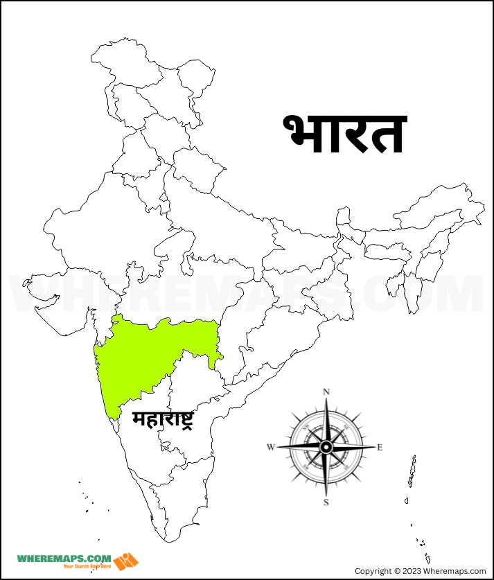
Explore where Maharashtra is located on the India map in hindi and find the precise location of it (पता करें कि महाराष्ट्र भारत के नक्शे पर हिंदी में कहाँ स्थित है और इसका सटीक स्थान खोजें )
Facts About Maharastra Map |
|
|---|---|
| Country | India |
| State capital | Mumbai |
| Area | 307,713 square kilometers (118,809 square miles) |
| Population | 123.13 million (as of 2021) |
| Number of divisions | 6 |
| Number of districts | 36 districts |
| Governor | Ramesh Bais |
| Chief Minister | Eknath Shinde |
More maps of Maharastra
| Maharashtra District Map | Link |
| Maharashtra Map in Marathi | Link |
| Maharashtra Blank Map | Link |
| Maharashtra Division Map | Link |
FAQs
Q: Which part is Maharashtra in India?
A: Western and central part of India.
Q: What is the nickname of Maharashtra?
A:
- Mumbai (Financial capital of India, City of Dreams)
- Nagpur (City of Oranges)
- Nasik (Wine capital of India)
- Pune (Queen of Deccan, Oxford of the East)