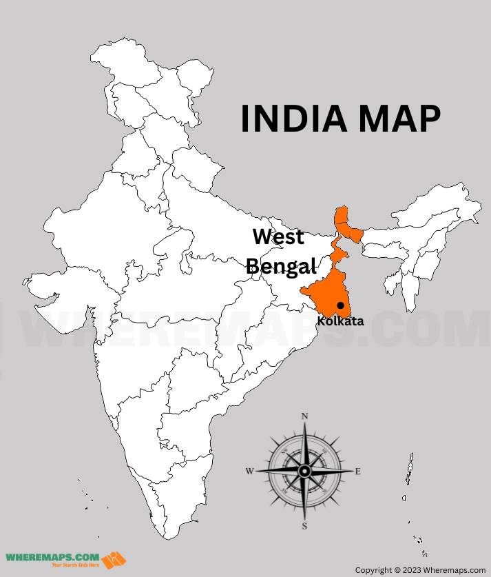
West Bengal is a state located in the eastern part of India. It shares its borders with Bangladesh, Assam, Sikkim, Bhutan, and Nepal. The state has 23 districts with unique culture, history, and geography. The districts are divided into three regions – North Bengal, South Bengal, and Kolkata. In this article, you’ll explore the location of West Bengal in India Map.
West Bengal Districts Facts |
|
|---|---|
| State | West Bengal |
| Capital | Kolkata |
| Official Language | Bengali |
| Number of Districts | 23 |
| Number of Divisions | 5 (Darjeeling, Jalpaiguri, Malda, Burdwan, Presidency) |
| Total Area | 88,752 sq km |
| Population (2011) | 91,347,736 |
| Current Chief Minister | Mamata Banerjee |
West Bengal Location Map : Points of Interest in West Bengal
Kolkata
As the cultural capital of India, Kolkata is a must-visit destination for any traveler to West Bengal. The city is home to a wide range of museums, art galleries, and historical landmarks, such as Victoria Memorial, the Indian Museum, and the Howrah Bridge.
Darjeeling
Known for its stunning views of the Himalayas, Darjeeling is a popular destination for nature lovers. The town is also home to several tea estates, where you can learn about the tea-making process and sample some of the world’s finest teas.
Sundarbans
The Sundarbans is a vast mangrove forest located in the delta region of the Ganges, Brahmaputra, and Meghna rivers. This UNESCO World Heritage Site is home to a wide variety of flora and fauna, including the endangered Bengal tiger.
Bishnupur
Bishnupur is a historic town located in the Bankura district of West Bengal. The town is known for its terracotta temples and traditional handicrafts, such as pottery and weaving.