
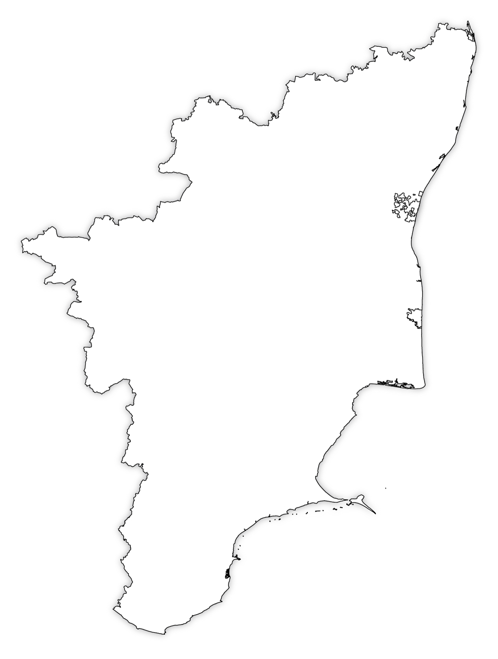
Download and print Tamil Nadu Outline map for kids and it can also be used for educational purposes.
Blank Map of Tamil Nadu | Tamil Nadu Blank Map

Download and print Tamil Nadu blank map with districts for kids and it can also be used for educational purposes.
About Tamil Nadu Outline Map and Blank Map
Tamil Nadu outline map and blank map are available for kids for free and it can be used for educational purposes only.
Some Facts About Tamil Nadu |
|
|---|---|
| Location | Southern region of India |
| Capital | Chennai |
| Area | 130,058 square kilometers (50,216 square miles) |
| Population | Approximately 81.5 million (as of 2021) |
| Official language | Tamil |
| Other languages | English, Telugu, Kannada, Malayalam, and others |
| Chief Minister | M. K. Stalin |
| Governor | Banwarilal Purohit |
| Formation | Established as Madras Presidency in 1653, became Tamil Nadu in 1969 |
| Bordering States | Kerala, Karnataka, Andhra Pradesh, and Puducherry |
| Geography | Diverse terrain with coastal plains, hills, and fertile plains |
| Climate | Tropical with hot summers and mild winters |
| Major Industries | Automobiles, software services, textiles, agriculture |
| Famous Tourist Attractions | Marina Beach, Meenakshi Amman Temple, Ooty, Mahabalipuram |
| Official Website | www.tn.gov.in |
Outline Maps of Indian States and UTs
- Andaman and Nicobar Islands Outline Map
- Andhra Pradesh Outline Map
- Arunachal Pradesh Outline Map
- Assam Outline Map
- Bihar Outline Map
- Chandigarh Outline Map
- Chhattisgarh Outline Map
- Dadra and Nagar Haveli and Daman and Diu Outline Map
- Delhi Outline Map
- Goa Outline Map
- Gujarat Outline Map
- Haryana Outline Map
- Himachal Pradesh Outline Map
- Jammu and Kashmir Outline Map
- Jharkhand Outline Map
- Karnataka Outline Map
- Kerala Outline Map
- Ladakh Outline Map
- Lakshadweep Outline Map
- Madhya Pradesh Outline Map
- Maharashtra Outline Map
- Manipur Outline Map
- Meghalaya Outline Map
- Mizoram Outline Map
- Nagaland Outline Map
- Odisha Outline Map
- Puducherry Outline Map
- Punjab Outline Map
- Rajasthan Outline Map
- Sikkim Outline Map
- Tamil Nadu Outline Map
- Telangana Outline Map
- Tripura Outline Map
- Uttar Pradesh Outline Map
- Uttarakhand Outline Map
- West Bengal Outline Map
India Maps
- India Map
- India Map HD
- India State Map
- India Political Map
- India Neighbouring Countries Map
- India Outline Map
- India Blank Map
- India Map with Cities
- India Road Map
- India Rivers Map
- India Physical Map
- India Metropolitan Cities
- Earthquake Zones of India
- India Rail Map
- India Population Map
- India Dams Map
- India on World Map
- India District Map
- India Tourist Map
- Bharat Ka Naksha
- India Assembly Constituency Map
- India Parliamentary Constituency Map
- Indian Subcontinent Map
- India Tricolour Map
- Dedicated Freight Corridor Map
- Longest Rivers in India
- 12 Jyotirlinga Map
- India Independence Day Wallpapers
- India Wood Map
- Char Dham Yatra Map
- India Regions Map
- India Zones Map
- India Climate Map
- India Port Map
- India Major Port Map
- India Map with International Boundaries
- India Blank District Map
- India Flag Map
- India Airport Map
- Gurudwara Circuit Train Map
- India Latitude and Longitude Map
- Akhand Bharat Map
- Indian Railway Zone Map
- India Soil Map
- India National Park Map
- India Waterways Map
- World Heritage Sites in India Map
- Tier 1 and Tier 2 Cities in India Map
- ഇന്ത്യയുടെ ഭൂപടം
- India Map in Punjabi
- Delhi Meerut RRTS Route Map
- Delhi to Mussoorie Route Map
- India Map in Gujarati
- অসমৰ মানচিত্ৰ
- India Map in Bengali
- India Map in Tamil
- India Map in Telugu
- India Map in Kannada
- India Map 1947
- 2022 Elections in India
- Ganges Delta on World Map
- Where is Kailash Parvat
- Nuclear Power Plants in India Map
- Ganga River Basin Map
- Krishna River Basin Map
- India Latitude and Longitude Extent Map
- Indian States Ruling Parties
- BJP Ruled States
- Congress Ruled States
- RRTS Corridor Map
- Delhi Varanasi High Speed Rail Corridor Map
- Golden Quadrilateral Map
- Delhi-Mumbai Expressway Map
- Chennai-Bengaluru Expressway Map
- India Drought Prone Areas Map
- India Muslim Population Map 1941
- India Summer Destinations
- 4 Adi Shakti Peethas Map
- Mauryan Empire Map
- Where is Mount Everest
- Where is Taj Mahal
- TATA Motors Presence Map
- Where is Statue of Unity
- Where is Gateway of India
- Where is Mysore Palace
- Saraswati River Map
- Buddhism Spread Map
- Indus River Map
- Best Road Trips in India
- Vande Bharat Express Routes
- Renewable Energy Projects in India
- India Capital
Maps of Indian States
- Andhra Pradesh Map
- Arunachal Pradesh Map
- Assam Map
- Bihar Map
- Chhattisgarh Map
- Goa Map
- Gujarat Map
- Haryana Map
- Himachal Pradesh Map
- Jharkhand Map
- Karnataka Map
- Kerala Map
- MP Map
- Maharashtra Map
- Manipur Map
- Meghalaya Map
- Mizoram Map
- Nagaland Map
- Odisha Map
- Punjab Map
- Rajasthan Map
- Sikkim Map
- Tamil Nadu Map
- Telangana Map
- Tripura Map
- UP Map
- Uttarakhand Map
- West Bengal Map
Maps of Indian Union Territories
- Andaman and Nicobar Islands Map
- Chandigarh Map
- Dadra and Nagar Haveli and Daman and Diu Map
- Delhi Map
- Jammu and Kashmir Map
- Ladakh Map
- Lakshadweep Map
- Puducherry Map
Indian States and UTs District Maps
- Andaman and Nicobar Islands District Map
- Andhra Pradesh District Map
- Arunachal Pradesh District Map
- Assam District Map
- Bihar District Map
- Chhattisgarh District Map
- Delhi District Map
- Goa District Map
- Gujarat District Map
- Haryana District Map
- Himachal Pradesh District Map
- Jharkhand District Map
- Karnataka District Map
- Kerala District Map
- Ladakh District Map
- MP District Map
- Maharashtra District Map
- Manipur District Map
- Meghalaya District Map
- Mizoram District Map
- Nagaland District Map
- Odisha District Map
- Puducherry District Map
- Punjab District Map
- Rajasthan District Map
- Sikkim District Map
- Tamil Nadu District Map
- Telangana District Map
- Tripura District Map
- UP District Map
- Uttarakhand District Map
- West Bengal District Map
Maps of All Countries of the World
- Afghanistan Map
- Algeria Map
- Angola Map
- Albania Map
- Andorra Map
- Argentina Map
- Armenia Map
- Antigua and Barbuda Map
- Australia Map
- Austria Map
- Azerbaijan Map
- Bahamas Map
- Bahrain Map
- Bangladesh Map
- Barbados Map
- Belarus Map
- Belgium Map
- Belize Map
- Bhutan Map
- Bolivia Map
- Brazil Map
- Brunei Map
- Bulgaria Map
- Burkina Faso Map
- Burundi Map
- Cambodia Map
- Canada Map
- Chad Map
- Chile Map
- China Map
- Colombia Map
- Costa Rica Map
- Croatia Map
- Cuba Map
- Denmark Map
- Djibouti Map
- Dominica Map
- Dominican Republic Map
- Ecuador Map
- Egypt Map
- England Map
- Eritrea Map
- Ethiopia Map
- Fiji Map
- Finland Map
- France Map
- Georgia Map
- Germany Map
- Ghana Map
- Greece Map
- Guatemala Map
- Haiti Map
- Iceland Map
- India Map
- Indonesia Map
- Iran Map
- Iraq Map
- Ireland Map
- Israel Map
- Italy Map
- Jamaica Map
- Japan Map
- Jordan Map
- Kenya Map
- Lebanon Map
- Lesotho Map
- Madagascar Map
- Malaysia Map
- Maldives Map
- Malta Map
- Mauritius Map
- Mexico Map
- Mongolia Map
- Morocco Map
- Myanmar Map
- Nepal Map
- Netherlands Map
- New Zealand Map
- Nigeria Map
- North Korea Map
- Northern Ireland Map
- Norway Map
- Oman Map
- Pakistan Map
- Palestine Map
- Panama Map
- Papua New Guinea Map
- Peru Map
- Philippines Map
- Poland Map
- Portugal Map
- Qatar Map
- Russia Map
- Saudi Arabia Map
- Scotland Map
- Singapore Map
- Somalia Map
- South Africa Map
- South Korea Map
- Soviet Union Map
- Spain Map
- Sri Lanka Map
- Sweden Map
- Switzerland Map
- Syria Map
- Taiwan Map
- Tanzania Map
- Thailand Map
- Togo Map
- Tunisia Map
- Turkey Map
- Uganda Map
- Ukraine Map
- United Kingdom Map
- US Map
- Venezuela Map
- Vietnam Map
- Wales Map